Észak-Ázsia
operating instructions
Various functions are available as part of the map.
mouse/touch operation
- moving by grabbing the map with a mouse-click you can move the map around
- overview map using the + button in the bottom right of the map you can expand an overview map
- zooming in and out using the + and - buttons in the top left of the map you can obtain more or less detail in the map
- switching themes or maps clicking on the ≡ icon on the right-hand side of the map you can view and select available maps and themes
- retrieving information the map may contain elements that contain more information, by clicking these a popup will show this information
- fullscreen display using the ✈ button the map can be maximized to fullscreen display, use the ✕ button to return to page display.
keyboard operation
Keyboard operation becomes available after activating the map using the tab key (the map will show a focus indicator ring).
- moving using the arrow keys you can move the map
- overview map using the + button in the bottom right of the map you can expand an overview map
- zooming in and out using the + and - buttons in the top left of the map or by using the + and - keys you can obtain more or less detail in the map
- switching themes or maps clicking on the ≡ icon on the right-hand side of the map you can view and select available maps and themes
- retrieving information the map may contain elements that contain more information, using the i key you can activate a cursor that may be moved using the arrow keys, pressing the enter will execute an information retrieval. press the i or the escape key to return to navigation mode
- fullscreen display using the ✈ button the map can be maximized to fullscreen display, use the ✕ button to return to page display.
It's possible that some of the functions or buttons describe above have been disabled by the page author or the administrator

| id | symbol | latitude | longitude | description |
|---|---|---|---|---|
| Tura útja | ||||
| 1 | 40.65º | 109.833333º | Ordosz („Baotou”) |
|
| 2 | 37.45º | 118.466667º | (Dongying) Agaba-óm(?) |
|
| 3 | 42.283333º | 100.616667º | Hun-tó (?) („Gashuun Nuur”) |
|
| 4 | 39.913889º | 116.391667º | Peking (Arvisura: „Széki Parajd”) |
|
| 5 | 53.173942º | 107.926712º | Bujkál-tó („Bajkál”) |
|
| 6 | 46.332706º | 74.639511º | Bolhás-tó („Balkas”) |
|
| 7 | 36.059646º | 103.85891º | Lanzhou |
|
| 8 | 37.0º | 100.133333º | Kuku-Nor - Kék-tó |
|
| 9 | 33.474408º | 102.463875º | Huang-Ho felső része |
|
| 10 | 34.903953º | 97.704506º | Ngoring (Eling) tó a Huang-Ho forrásánál |
|
| 11 | 39.368279º | 83.250732º | Tárim-medence |
|
| 12 | 55.825973º | 49.083939º | Kazánvásárhely („Kazan”) |
|
| 13 | 44.824708º | 59.696044º | Aral-tó, Meleg-tó |
|
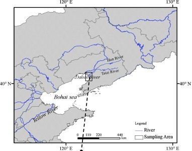
A térkép szerint a Sárga folyó torkolatánál, közvetlen a folyó mellett, annak Déli partján fekszik; itt ma Dongying található.
Elhelyezkedése alapján a Gashuun Nuur (1960-ban kiszáradt)
A „Bajkál”.
„Az avar felderítők már kalandozásokat végeztek észak és kelet felé. Egy nagy és mély tó partján ajnók bujkáltak a lovasok elől, ezért a mély vizet Bujkál-tónak nevezték el. Tungúz vezér fiai azonban nem bújtak ezen lovas csoport elől az erdőségbe, mert még megértették egymást. Elbeszélték, hogy az úzok közül sokan eljöttek Ordoszból Tungúz vezér parancsnoksága alatt, mivel nem bírták a felmelegedés miatti járványokat, s inkább északabbra vonultak.”
A „Balkas”
Létezik egy "Hun-folyó", erre azonban nem illik a „Kettős” jelző.
A térkép alapján a Széki hun-folyó a mai Yongding, a Kaza hun-folyó pedig a mai Ziya-folyó.
A Kuku-Nor jelentése „Kék-tó”.
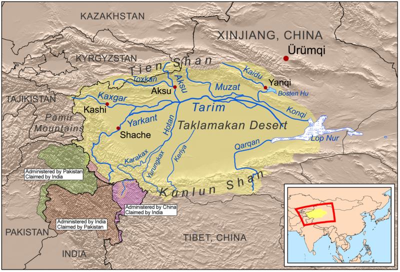
Ujguriában fekvő, Tibettől északra eső, 1400 km hosszú, 800 km széles medence, amelyet minden oldalról 5000 m-nél magasabbra nyúló hegyláncok vesznek körül.
http://hu.wikipedia.org/wiki/Tarim-medence
„Kazan”

