Tartalomjegyzék
India és Tibet
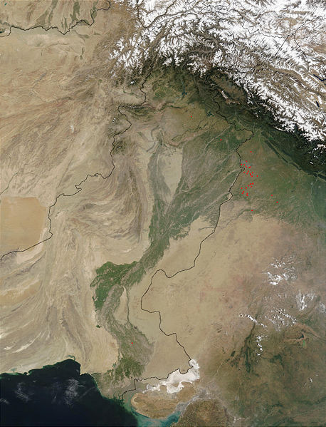
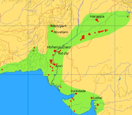
Indus-völgye
Az Indus-völgyi vagy Harappa-civilizáció az indiai szubkontinens első ismert civilizációja volt.
Két folyó, az Indus és a Szaraszvati medrében alakult ki. A Szaraszvati (amely folyóistennőként Aredvi Sura Anahita * indiai megfelelője) azóta kiszáradt.
operating instructions
Various functions are available as part of the map.
mouse/touch operation
- moving by grabbing the map with a mouse-click you can move the map around
- overview map using the + button in the bottom right of the map you can expand an overview map
- zooming in and out using the + and - buttons in the top left of the map you can obtain more or less detail in the map
- switching themes or maps clicking on the ≡ icon on the right-hand side of the map you can view and select available maps and themes
- retrieving information the map may contain elements that contain more information, by clicking these a popup will show this information
- fullscreen display using the ✈ button the map can be maximized to fullscreen display, use the ✕ button to return to page display.
keyboard operation
Keyboard operation becomes available after activating the map using the tab key (the map will show a focus indicator ring).
- moving using the arrow keys you can move the map
- overview map using the + button in the bottom right of the map you can expand an overview map
- zooming in and out using the + and - buttons in the top left of the map or by using the + and - keys you can obtain more or less detail in the map
- switching themes or maps clicking on the ≡ icon on the right-hand side of the map you can view and select available maps and themes
- retrieving information the map may contain elements that contain more information, using the i key you can activate a cursor that may be moved using the arrow keys, pressing the enter will execute an information retrieval. press the i or the escape key to return to navigation mode
- fullscreen display using the ✈ button the map can be maximized to fullscreen display, use the ✕ button to return to page display.
It's possible that some of the functions or buttons describe above have been disabled by the page author or the administrator

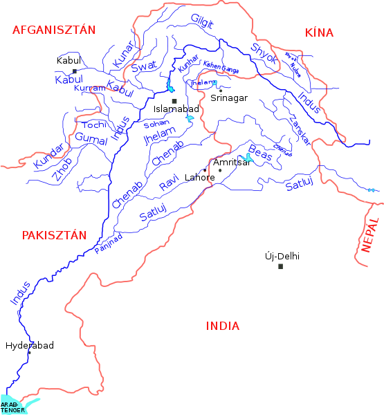
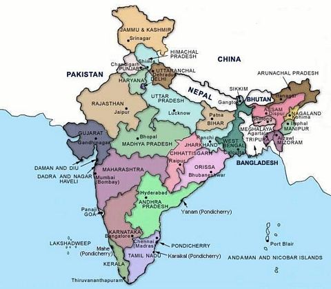
| id | symbol | latitude | longitude | description |
|---|---|---|---|---|
| Tura útja | ||||
| 1 | 23.986253º | 67.444153º | Hindus-torkolata |
|
| 2 | 27.316667º | 68.133333º | („Mohendzsodáro”) |
|
| 3 | 30.592041º | 72.916589º | Harappa |
|
| 4 | 34.145397º | 77.567614º | Leh |
|
Léh
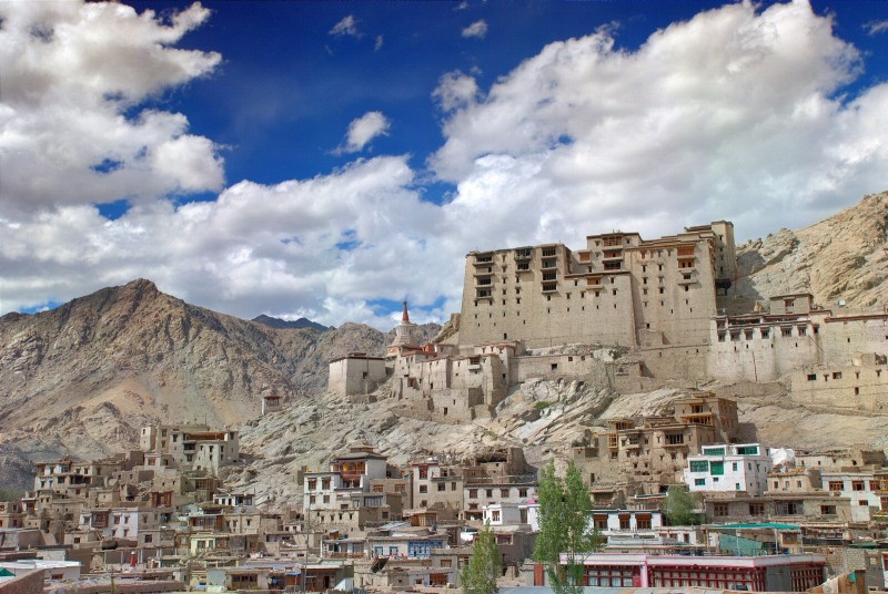
Leh egy város (@) és egy terület neve a mai Észak-Indiában, az Indus felső folyásánál, Tibet szomszédságában. Ladakh fővárosa volt.
Bihar
Tibet (Töbet)
Az Arvisurában Tibet általában Töbet néven van említve.
Kazah nyelven a „töbe” jelentése „hegy”. Alma-Ata (ma: Almaty) külső részén található a Köktöbe - „Kék-hegy” (a wiki cikkben hibásan zöldnek fordítva; „zöld” - „жасыл” - kb. „zsaszül”). (Az oroszok a „töbe” szót Тюбе módon ejtik, hasonlóan pl. a „Tubes”-hez.)
A „Töbet” így elképzelhető, hogy „hegyes” jelentésű.